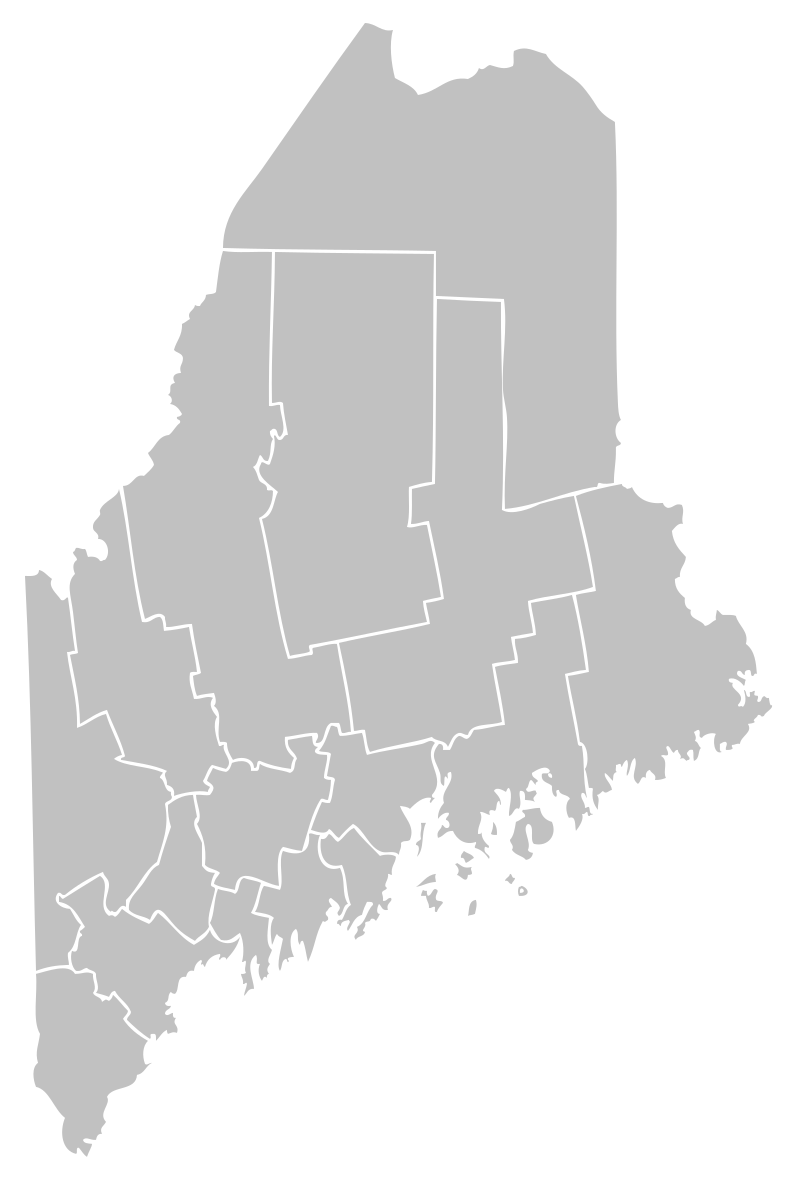
First things first
Bryant Pond or Lake Christopher?
Honestly? Both. Bryant Pond is the village and the traditional local name for the water. “Lake Christopher” was already in use by about 1890. A 1925 proposal to make that the official name failed—but the name stayed anyway. That feels extremely Maine.
The shoreline version
Six stops through the story.
This is a quick orientation, not the whole archive. Each stop carries an evidence label so a good story never has to pretend it is more certain than it is.
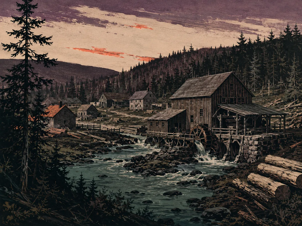
Interpretive illustration Before the village moved
Local histories place an earlier commercial center around Black Brook, remembered as Stephens’ Mills or Woodstock Corner. Its exact footprint is still being pieced together.
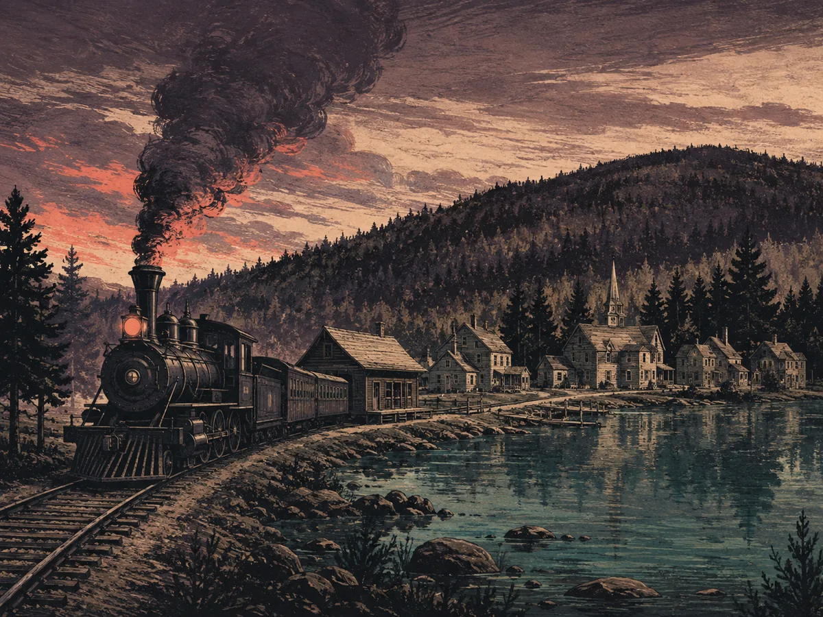
Interpretive illustration Then came the railroad
The railroad reached Bryant’s Pond in 1851. The new connection helped shift the town’s center toward the station—and the village we recognize today began taking shape.
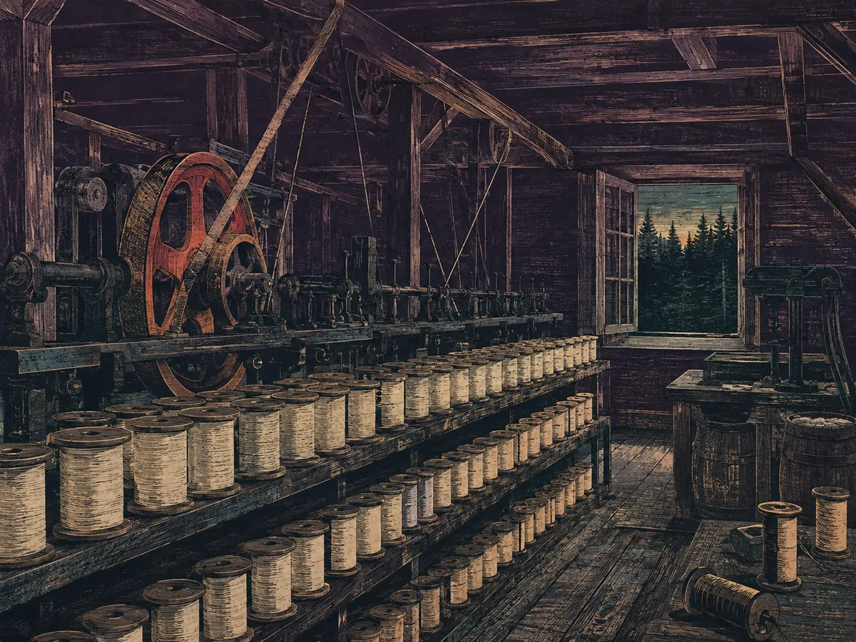
Interpretive illustration Spools, steam, and work
This was not always a sleepy lake village. Wood products and mills mattered. In 1884, J. F. Dearborn’s spool operation alone was reported to employ 30 people.

Interpretive illustration The lake collected names
An 1882 town history called it Long Pond. Bryant Pond became the familiar local name. Lake Christopher appeared later, survived a failed legislative renaming attempt, and never left.
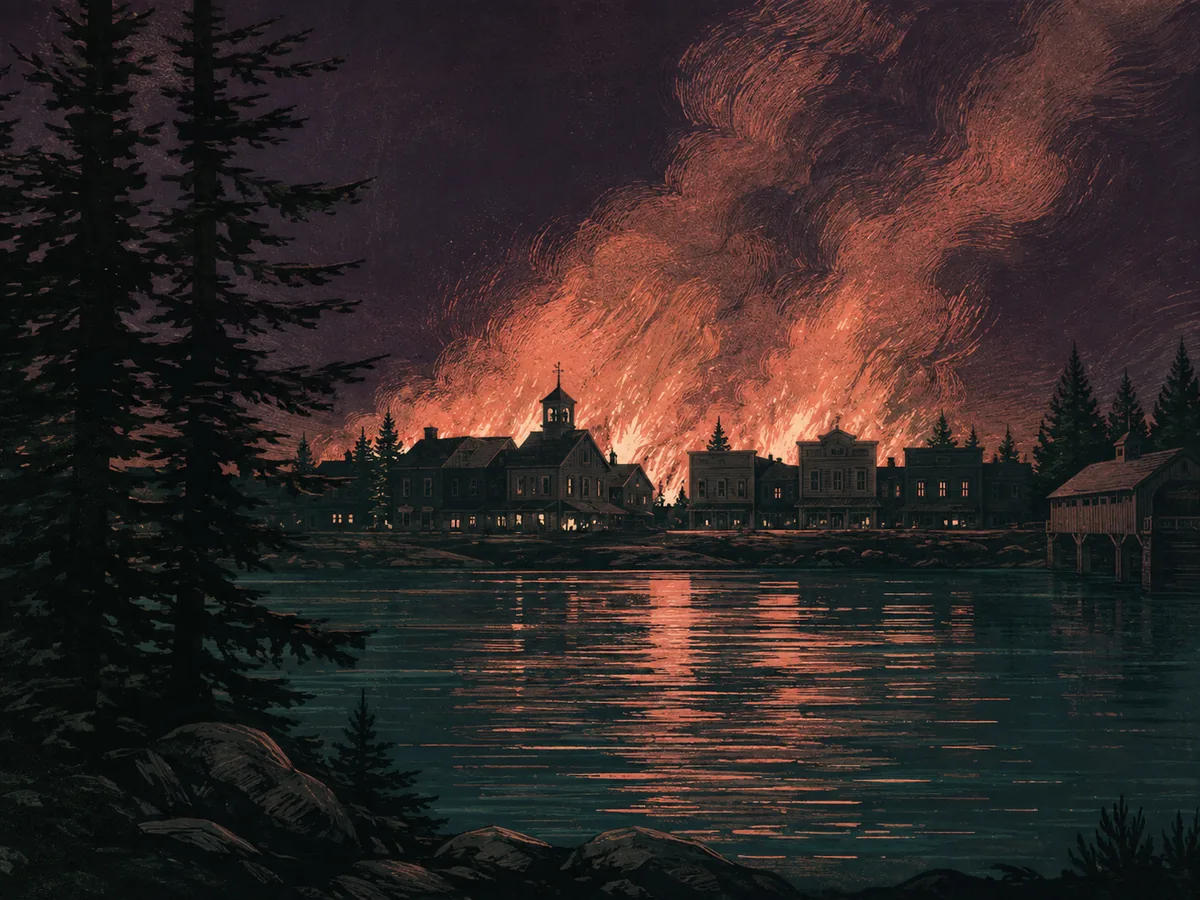
Interpretive illustration The fire changed downtown
On April 24, 1928, fire tore through the village center, destroying the post office, stores, a livery stable, and other buildings. The exact map of what vanished is still being rebuilt.

Interpretive illustration “Number, please?” until 1983
Eldon and Barbara Hathaway bought the telephone company in 1951. On October 11, 1983, Bryant Pond’s hand-crank service finally ended—closing one of America’s most famous telephone eras.
Then and now
The machinery changed. The place still runs on connection.
Rail lines, mill power, switchboards, lake sensors, and a live camera are all versions of the same local impulse: connect this little corner of Maine to the wider world.
How we know
Built from records, not vibes.
This overview draws from W. B. Lapham’s 1882 History of Woodstock, Maine legislative journals, state industrial statistics, contemporary reporting on the 1928 fire, telephone-era reporting and oral history, and the growing Operation BP evidence archive.
About the pictures: The six scenes are original, AI-assisted interpretive illustrations—not historical photographs or evidence of an exact place or building.
Still open: the precise locations of several early mills, the full 1928 fire footprint, and some building identities. We will update the story as stronger evidence arrives.