01Surface water
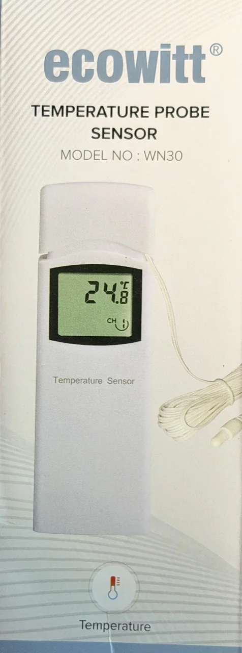
Ecowitt WN30 cabled temperature probe
Installed beneath the surface, with the probe approximately 12–15 inches underwater. It supplies the frequently updated surface-water reading. Manufacturer details ↗
Technology behind the view
A small collection of purpose-built instruments turns everyday observations at the lake into useful, understandable public information.
Our approach
Full transparency makes the lake more interesting. This page names the exact equipment, explains what each piece measures, and keeps clear boundaries between live readings, dated logger downloads, regional public forecasts, and the camera view.
Instruments at the lake
Four pieces of equipment form the first monitoring system. Each has one job, and the public dashboard will say when a reading was actually observed.
Installed beneath the surface, with the probe approximately 12–15 inches underwater. It supplies the frequently updated surface-water reading. Manufacturer details ↗
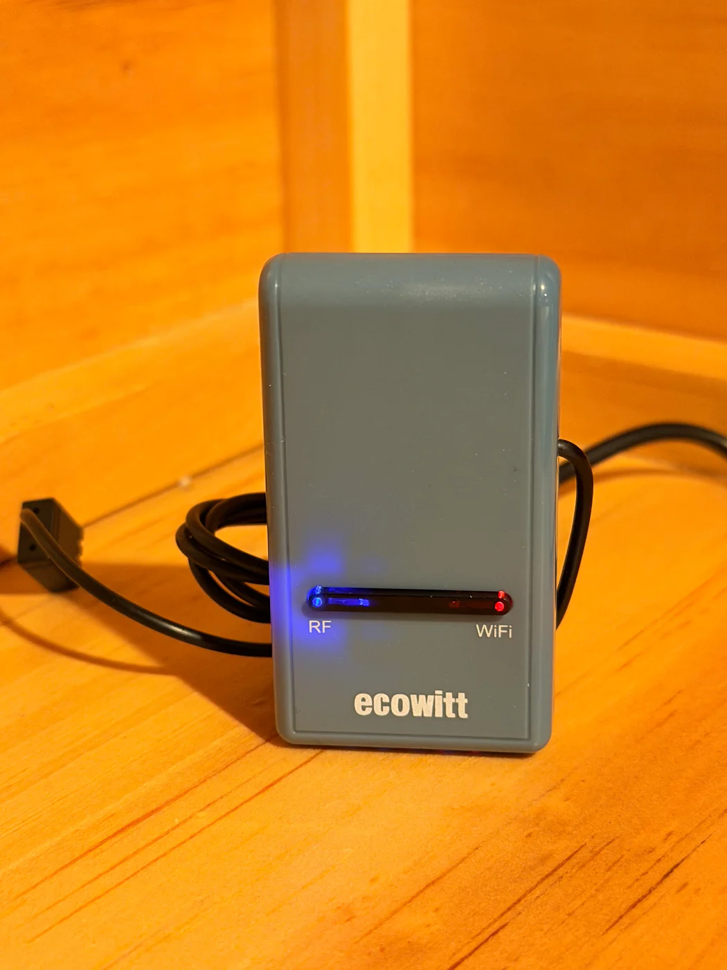
Receives the WN30 radio signal and sends its readings to the Ecowitt cloud. The website retrieves only the needed lake-temperature field through a protected server-side connection. Manufacturer details ↗
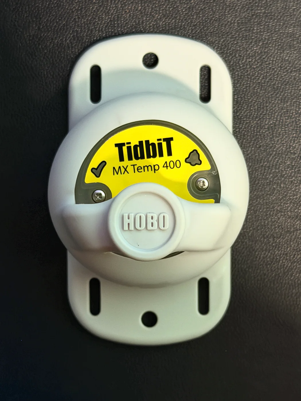
Our intention is to place this logger on the lake bottom, possibly at a depth of 10 feet or more; the final depth is still to be determined. We expect to retrieve its readings two to four times each year. As that archive grows, it can support features such as comparing the bottom temperature with the same time last year. Explore the bottom-water record → Manufacturer details ↗

This is the camera behind the Lake Christopher view. It supplies the live video visitors will watch from the homepage. Manufacturer details ↗
Public context
The instruments describe the lake itself. Trusted public sources add regional context without pretending to be an on-site weather station.
Regional forecast
Forecasts use the public Bryant Pond boat launch as the reference point. They remain clearly labeled regional until a local outdoor weather array is installed.
Reference location
Rowe Hill Road at the lake outlet. This recognizable public location gives the regional forecast a clear, consistent reference point.